At the tip of the Baja Peninsula, not far from Cabo's boozy beaches, a green ecological oasis rises 7,000 feet above the arid landscape. My friend Natty and I were in the area and couldn't pass up the opportunity to go backpacking and explore the unique environment.

Lonely cacti, sun bleached skeletons, and crystalline waters lapping at the desert shore are typical characteristics of the Baja Peninsula landscape. In sharp contrast with this portrayal stands the lush 40 mile long Sierra De La Laguna Mountain Range. Its tall peaks catch 28 inches of rain a year, much more than the 8 inches that fall on the desert below. This rainwater combines with natural springs to feed a stunning array of granite rimmed pools, waterfalls, and hot springs, primarily found on the east side of the range. This water supports a rare medley of plants and animals, isolated from similar climates by hundreds of miles of desert and sea, essentially confining the local life to the small mountain range. The area is so remote that 20% of the species are unique to the region, earning recognition from UNESCO as a designated biosphere reserve.
This "sky island" is usually overlooked by tourists, an unassuming backdrop to the region's world class surfing, kiteboarding, and snorkeling. Most of the tourists I spoke with were shocked to learn that the mountains host dense green forests. I was personally blown away to discover the forests are composed of yucca, pine, cactus, oak, palm, madrone, ficus, and aspen...all living alongside each other 🤯
The Trek In
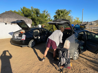
To reach the trailhead we drove an hour down a dusty cow lined dirt road in the Baja adventurer's vehicle of choice, a 2007 Prius. From the La Burrera ranch we hiked a sweltering 10 miles over 7 hours, gaining 5,000 feet to reach camp. Although it was January the temperature was pushing 80 degrees, sweat dripping into our eyes as we trudged up the trail built for pack mules. Once we reached the top, a wild pig greeted us then barreled away through the brush.
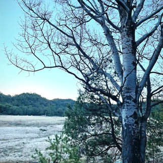
Atop the range is a bucolic plateau and large meadow with a shimmering creek running through it. This made for an excellent campsite for our two night stay. The temperature started to dive after sunset so we gathered wood and built a campfire. We sipped warm citrus tea strengthened with Damiana liqueur while imagining what the area was like hundreds of years ago.
The meadow was once the site of the namesake laguna ("lake" in Spanish) when the Spanish first explored and named the region 300 years ago. It's believed a small number of indigenous Pericú people living along the lake until the Spanish in typical fashion violently forced a new lifestyle upon them. Due to the rugged environment this area has always been sparsely inhabited and to this day it is the least populated area in the least populated state in Mexico. A real dream when it comes to social distancing.
Day Hike to The Fire-Lookout

I awoke the next morning with my water bottle frozen, serving as simple thermometer indicating it was pretty dang cold. After coffee, oatmeal, and morning sun had warmed us up, we headed out in search of a fire tower that I had read about on a trip report from peakbagging.com. Armed with with a crumb-trail of GPS points downloaded ahead of time, we crashed through the forest weaving around cacti until we found the overgrown trail. In the thick brush we lost the trail, and each other, but eventually reunited and found the tower. After climbing the rusted ladder we were duly rewarded with spectacular views. From this perch we could look west and see the Pacific Ocean, east to the Sea of Cortés, and a few individual surf breaks and snorkeling spots that we had visited the previous weeks. It was stunning to look down and see the entire width of Baja, as a map nerd it was a treat to see something so prominent on the world map with my own eyes.
The Hike Out
The next day we broke camp and kicked our lazy legs back down the mountain to the car. Once back to Pescadero we plopped down at the best carnitas restaurant on the peninsula and binged like happy wild pigs. After an evening at Cerritos beach we said our farewells as Natty headed back to the States and I continued my explorations to the east side of the mountains, towards the hot springs and Cabo Pulmo coral reef.


Comments